West Coast Storm Brings Heavy Rain and Snow, Triggering Flood Risk


A powerful West Coast storm is impacting millions of residents across the region this weekend. Bringing widespread rain, heavy mountain snow, and high winds. Flood watches have been issued for over 20 million people in California, Oregon and Washington. As several inches of rain are forecast to fall through Sunday. Portions of Southern California could see rainfall totals upwards of 6 inches, raising the risk for flash flooding in urban and burn scar areas.
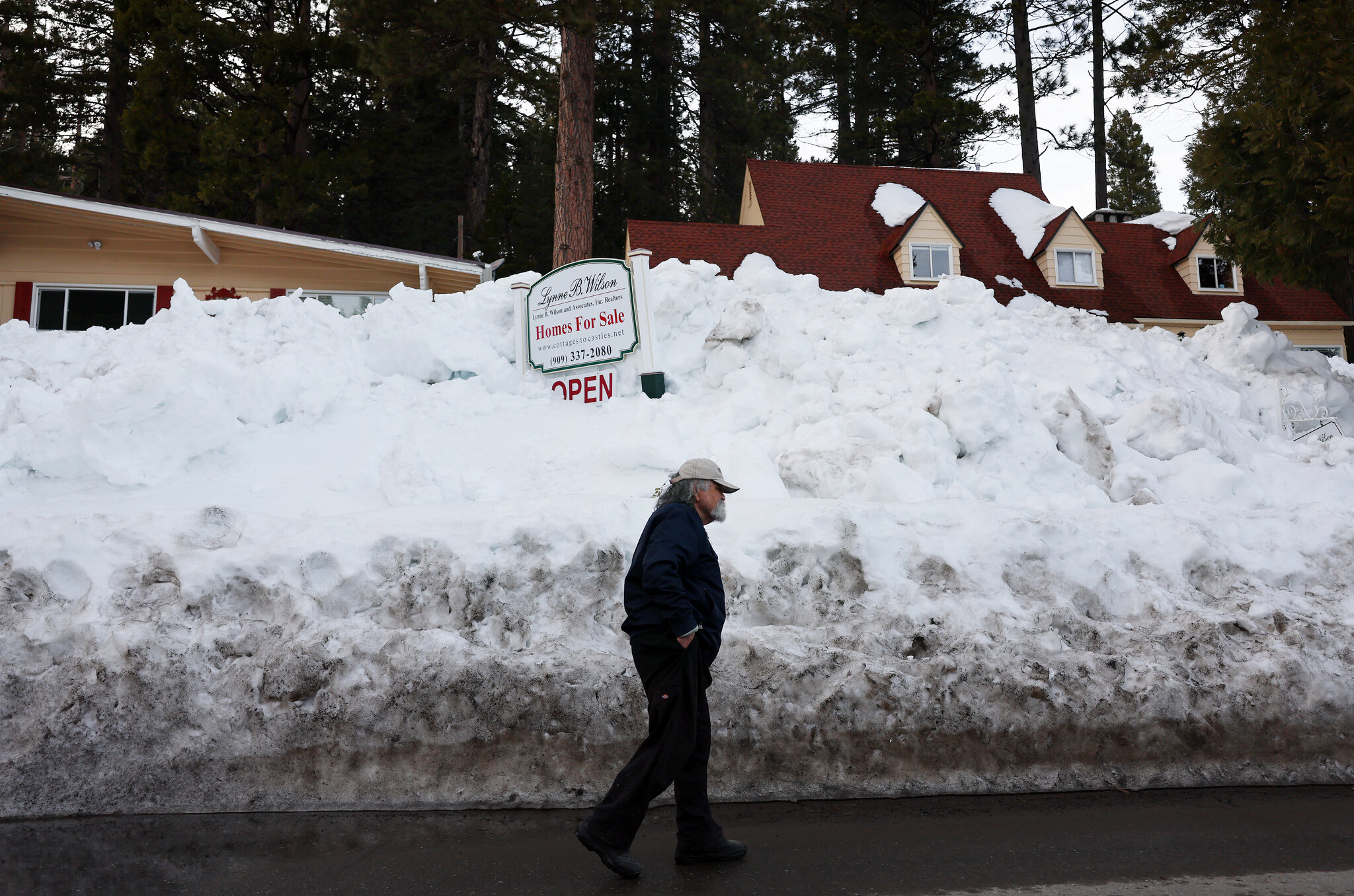
Snow levels with this storm are unusually low, allowing snow to fall all the way down to the foothills of major metropolitan areas like Los Angeles and San Francisco. Several feet of snow is expected above 6,000 feet in elevation across the Sierra Nevada and Cascade mountain ranges. Also back-to-back winter storms over the past month have already deposited heavy snowpacks in these regions. The additional snow from this West Coast storm will further boost already impressive snow water content levels.
High Winds Bring Damage Risk

In addition to flooding and snow threats, damaging winds are also anticipated with this West Coast storm. Wind advisories have been issued across wide areas, including all of Arizona where gusts may top 55 mph. Downed tree limbs and power outages will be a concern, particularly where soils have been saturated by recent rains. The strong winds will also lead to areas of blowing and drifting snow in the mountains. Reducing visibility at times over mountain passes.
As the storm shifts eastward early next week, it will bring the potential for severe thunderstorms and tornadoes to parts of the Central U.S. However, for now the immediate impacts will continue across the West Coast. Where travel disruptions are likely and urban/small stream flooding will be possible depending on rainfall amounts from this potent winter storm.